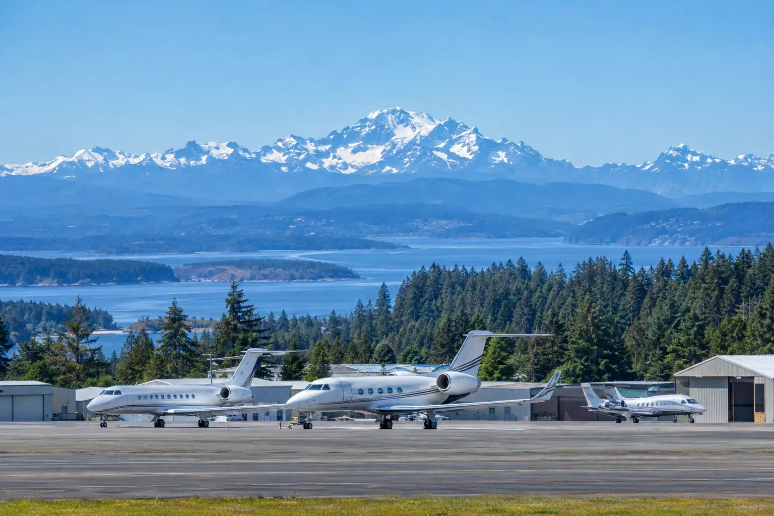
Jet charter Bremerton National
Bremerton National sits west of Seattle across Puget Sound. Its runway runs 6000 feet at 444 feet elevation. This page covers what that means for a jet charter quote.
Jet charter Bremerton National is a request you make through a broker, and the flight itself is flown by an FAA Part 135 operator that holds operational control. The airport's single runway measures 6000 feet at 444 feet elevation, which puts it in range for light jets and many midsize aircraft but not the largest cabins. We quote the trip; the operator flies it.
The field is coded KPWT by ICAO and PWT by IATA, and it carries a local code of Bremerton-National-PWT. One FBO, Avian Flight Center, Inc., handles the general aviation traffic on the field. There is no airline terminal, so the pace is different from Seattle-Tacoma, and ground handling is arranged through that one operator rather than a row of service providers.
Driving distance to the city strip runs 877 miles, which tells you this airport is not a downtown Seattle substitute. Charter a private jet between seattle and the Kitsap Peninsula and Bremerton National is the closest field of its size. For most Seattle departures, Boeing Field or Paine Field is the better fit; PWT earns its place when the trip starts or ends on the peninsula.
Density altitude here stays modest compared with hotter inland fields. The July density altitude reads 1700 feet, and the peak at 115F reaches 2300 feet. Those are working numbers a crew will factor into takeoff planning, not marketing copy. On a cool winter morning the same figure drops below sea level.
Runway length and what it allows
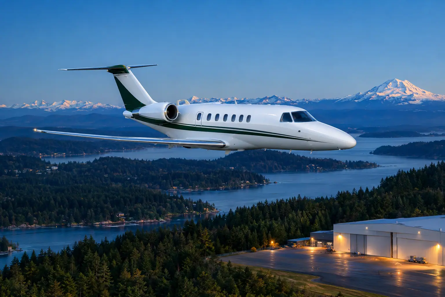
Bremerton National has one runway of 6000 feet at an elevation of 444 feet, which suits light and midsize jets but limits heavy aircraft. A 6000 foot runway at 444 feet elevation covers most light jets and many midsize types on normal temperature days. When summer heat pushes density altitude to 1700 feet in July, takeoff rolls stretch, and a crew may cap fuel or passenger load to stay within performance limits. If a trip needs a heavy jet or a long nonstop leg, then the operator will usually point you to Boeing Field's 10007 foot runway or Seattle-Tacoma's 11901 feet instead.
| Runway | Dist | Width | Surface |
|---|---|---|---|
| 02/20 | 6,000 ft | 150 ft | Asphalt |
The FBO on the field
Avian Flight Center, Inc. is the FBO at Bremerton National, and it is the single fixed base operator listed on the field. With one FBO at Bremerton National, ground handling and parking are arranged through Avian Flight Center. That is a simpler setup than Boeing Field, where four separate FBOs compete for the same drop-offs. Fewer handlers means scheduling is straightforward but options are thin. If your itinerary lands late or needs a specific fuel grade, then confirm the details with the operator before the quote is finalized.
When Bremerton National makes sense
- Kitsap Peninsula departures and arrivals that avoid a drive around the sound to Sea-Tac.
- Light and midsize jet trips where a 6000 foot runway covers the aircraft type.
- Business travel to the Bremerton shipyard and Puget Sound Naval bases.
- Weekend trips to the Olympic Peninsula and Hood Canal, with a quick return to the field.
| Class | Typical runway need | Here |
|---|---|---|
| Turboprop | 3,300 ft+ | Fits |
| Light jet | 4,000 ft+ | Fits |
| Midsize jet | 5,000 ft+ | Fits |
| Super-midsize jet | 5,200 ft+ | Fits |
| Heavy jet | 5,600 ft+ | Fits |
Weather and density altitude by season
July density altitude at Bremerton National runs 1700 feet, and August is close behind at 1800 feet with an average high of 77F. Summer afternoons carry the highest density altitude of the year at this field. Those figures matter for takeoff distance, and a light jet with a full load may see a noticeable penalty. The peak at 115F, a rare reading, pushes density altitude to 2300 feet.
Winter flips the picture. December averages a high of 45F with 18 wet days, and density altitude drops to -400 feet. Cool, wet winters at Bremerton National mean short takeoff rolls and more weather delays. January and November each log 18 wet days, so instrument approaches and de-icing come up more often than heat does. If you fly in winter, then build slack into the schedule for low ceilings over Puget Sound.
| Month | Avg high | Wet days | Density altitude |
|---|---|---|---|
| Jan | 47°F | 18 | -200 ft |
| Feb | 47°F | 16 | -200 ft |
| Mar | 52°F | 15 | 100 ft |
| Apr | 57°F | 14 | 400 ft |
| May | 64°F | 10 | 900 ft |
| Jun | 70°F | 8 | 1,300 ft |
| Jul | 76°F | 3 | 1,700 ft |
| Aug | 77°F | 5 | 1,800 ft |
| Sep | 69°F | 10 | 1,200 ft |
| Oct | 59°F | 14 | 600 ft |
| Nov | 50°F | 18 | 0 ft |
| Dec | 45°F | 18 | -400 ft |
Getting to and from the airport
Bremerton National is reached by road from the peninsula and by ferry from downtown Seattle, and the 877 mile figure to the city strip is a straight-line reference rather than a drive. Washington State Ferries links downtown Seattle to Bainbridge Island and Bremerton, putting the airport on the far side of the water. If your schedule depends on a ferry crossing, then allow for loading time and weather cancellations on the route. Passengers connecting from Seattle-Tacoma usually drive or take a private transfer instead. For international legs, CBP clearance is arranged at a port of entry, not at this field.
Private jet routes via Bremerton National
Each of these 6 private jet routes is 818 to 2,080 nautical miles. One-way light jet estimates run $8,500 to $35,500.




Questions about this airport
How long is the runway at Bremerton National for jet charter flights?
The single runway runs 6000 feet at an elevation of 444 feet. That covers light jets and many midsize aircraft on normal days. In July, density altitude hits 1700 feet, which trims performance and may push a crew to reduce fuel or passengers. Larger cabins and long nonstop legs generally need Boeing Field or Seattle-Tacoma instead.
What does jet charter Bremerton National cost from Seattle?
We do not publish fixed prices because every quote depends on aircraft type, passenger count and date. Pricing is built from the operator's hourly rate plus landing and handling fees at Avian Flight Center. Treat any figure you receive as an estimate, not a fare. Ask for a written quote that separates the flight cost from ground charges so you can compare options.
Does Bremerton National have an FBO for private jets?
Yes. Avian Flight Center, Inc. is the FBO on the field, and it is the only one listed. Ground handling, parking and fuel go through that single operator. That keeps coordination simple but leaves fewer alternatives than Boeing Field, which lists four FBOs. Confirm hours and any after-hours charges with the operator before you commit.
Who operates the aircraft on a charter booked through this site?
Flights are flown by FAA Part 135 operators who hold operational control of the aircraft and crew. We act as a DOT Part 295 charter broker, which means we arrange the trip as your agent and do not own or operate aircraft. The operator's certificate and safety record are available on request. Ask for those documents before you sign anything.
What is density altitude at Bremerton National in summer?
July density altitude averages 1700 feet, and August is close at 1800 feet with an average high of 77F. The peak reading at 115F reaches 2300 feet. Those numbers affect takeoff distance, so a crew may limit load on a hot afternoon. Winter is the opposite, with December density altitude near -400 feet.
When should I use Bremerton National instead of Boeing Field or Paine Field?
Use Bremerton National when the trip starts or ends on the Kitsap Peninsula and a light or midsize jet fits the runway. Boeing Field offers a 10007 foot runway and four FBOs; Paine Field runs 9010 feet. If your passengers are already on the peninsula, then the drive saved is real, and the 6000 foot runway is rarely the constraint.